(This post may contain affiliate links. For more information, please read our Privacy Policy.)
After soaring through the Arizona skies on a hot air balloon ride, we wanted to explore the desert ground below, so we drove a little ways to the Scottsdale McDowell Sonoran Preserve. We turned north onto Alma School Parkway from Dynamite Boulevard and followed the road past the subdivision of homes until we hit the end.
Browns Ranch Trailhead



Browns Ranch Trailhead serves as the major access point to the vast network of trails in the area.
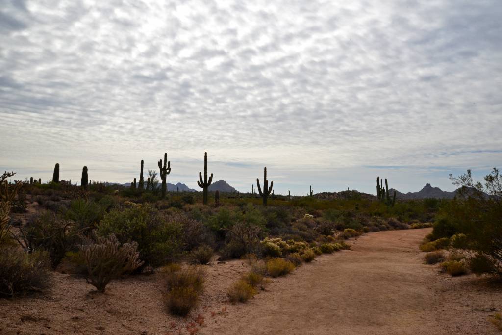
Unfortunately, because I (Toccara) had a torn meniscus (knee) at the time of our trip, we only were able to take a very short hike through the preserve, but it was totally worth it!
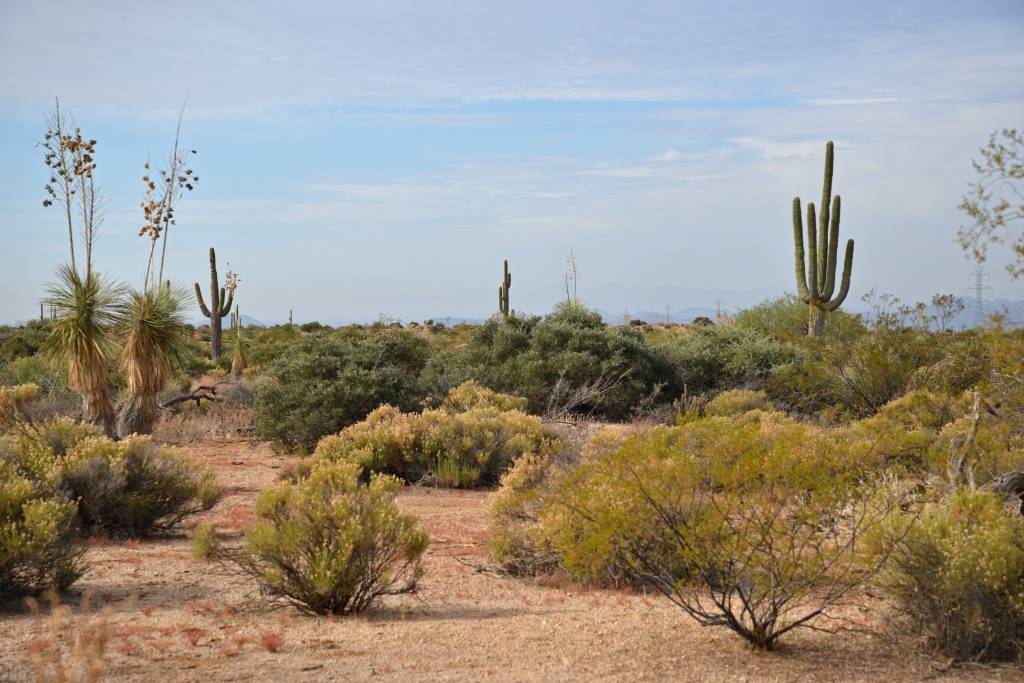
We walked .03 miles on Upper Ranch Trail before turning onto Powerline Road #2. We walked another .03 miles to Brown’s Ranch Road and then .03 miles back to the trailhead. So, our “hike” was really just a leisurely one-mile stroll, a very doable walk for people of all ages and fitness levels!

This trailhead provides access to unique and scenic destinations such as Granite Mountain, Cholla Mountain, Brown’s Mountain, Balanced Rock and Cathedral Rock. To see the entire network of trails you can access from Browns Ranch Trailhead, click here.


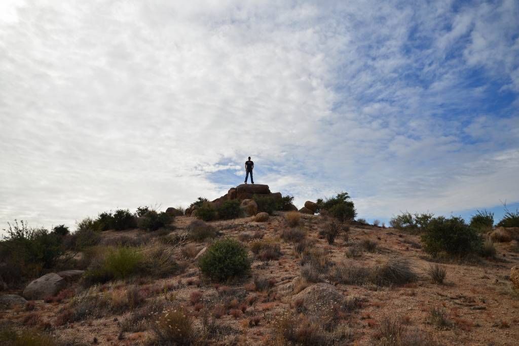
Yes, there were power lines along this portion of the preserve, but we liked the imagery it created. You could tell the desert air was dry because you could hear the static crackling in the lines as you got right up under them.

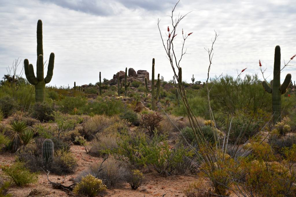
We can’t wait to go back to Scottsdale, fully healed, to explore more of this beautiful preserve!
To get to Browns Ranch Trailhead put the following address in your GPS:
30301 N Alma School Pkwy, Scottsdale, AZ, 85262
(Lat: 33° 45′ 41.70″N Long: 111° 50′ 32.06″W)
Ample Parking and Restrooms Available
Download our Scottsdale/Phoenix Destination Guide for quick reference to help with planning your own Arizona getaway.